The CRAN version can be loaded as follows:
or the development version from GitHub:
remotes::install_github('serafinialessio/mapping')The worldwide geographical aggregates nomenclature are the following:
| Function argument | Aggregates | Level |
|---|---|---|
| “continent” | Continents | level 0 |
| “regions” | World regions | level 1 |
| “subregion” | World subregions | level 2 |
| “country” | Countries | level 3 |
where level 0 is the largest unit (continent), and level 4 the smallest unit.
Countries can be subdivided in other aggregates, based on type of economics or development
| Function argument | Type |
|---|---|
| “type” | Classification based on the type of political entity |
| “type_economy” | Classification based on the type of development |
| “type_income” | Classification based on the type of income |
and based on the belonging to some international organisation
| Function argument | Type |
|---|---|
| “nato” | If is a NATO country |
| “ocde” | If is a ICDE country |
Level may have names expressed in different way. The
package provides:
| Names | Code |
|---|---|
| Country names | country |
| iso2 code | iso2 |
| iso3 code | iso3 |
| iso3 numeric | iso3_numeric |
| iso3 United Nations | iso3_un |
| iso2 World Bank | iso2_wb |
| Formal name | name_formal |
| World Bank name | name_wb |
This can be specified in matchWith argument, depending
on the ids format in the input data.
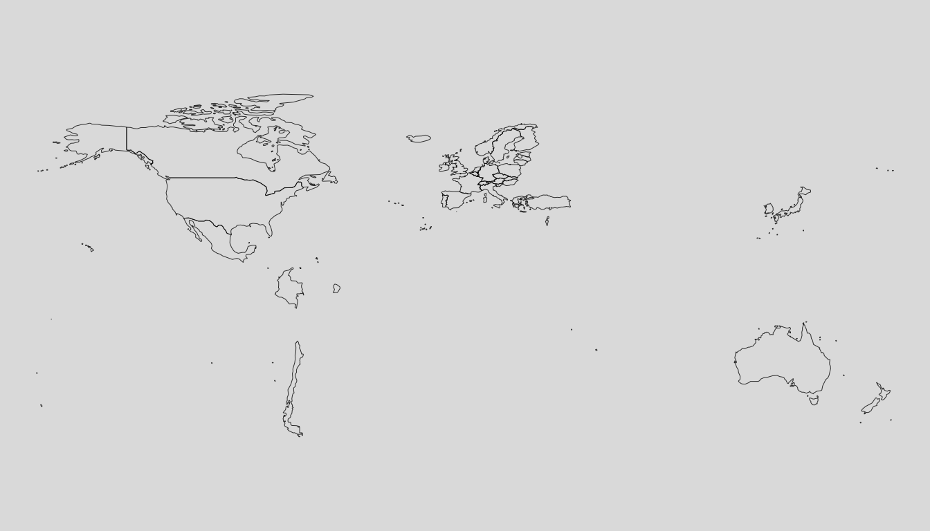
wr_continent <- loadCoordWR(unit = "continent", res = "hi")
mappingWR(wr_continent)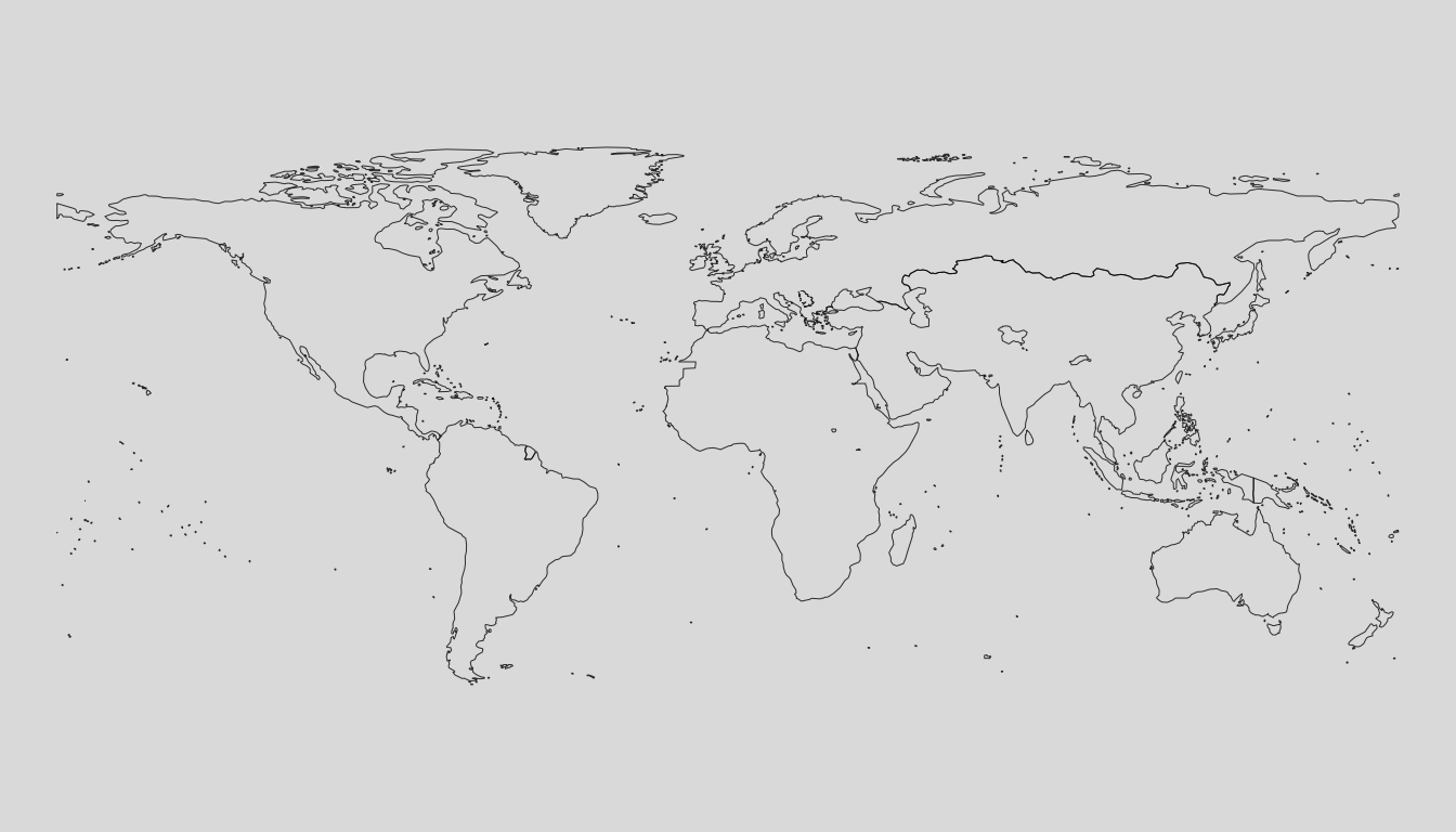
wr_regions <- loadCoordWR(unit = "region", res = "hi")
mappingWR(wr_regions)
wr_subregion <- loadCoordWR(unit = "subregion", res = "hi")
mappingWR(wr_subregion)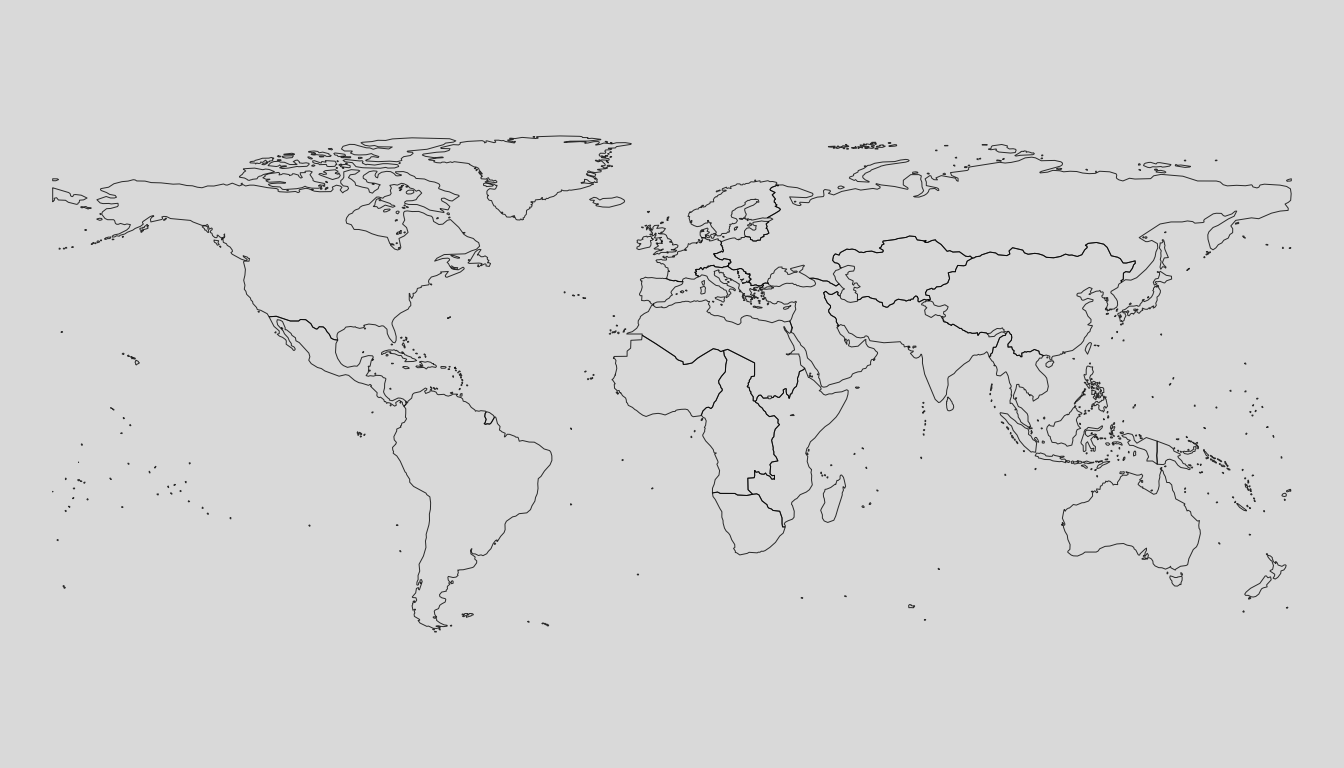
wr_country <- loadCoordWR(unit = "country", res = "hi")
mappingWR(wr_country)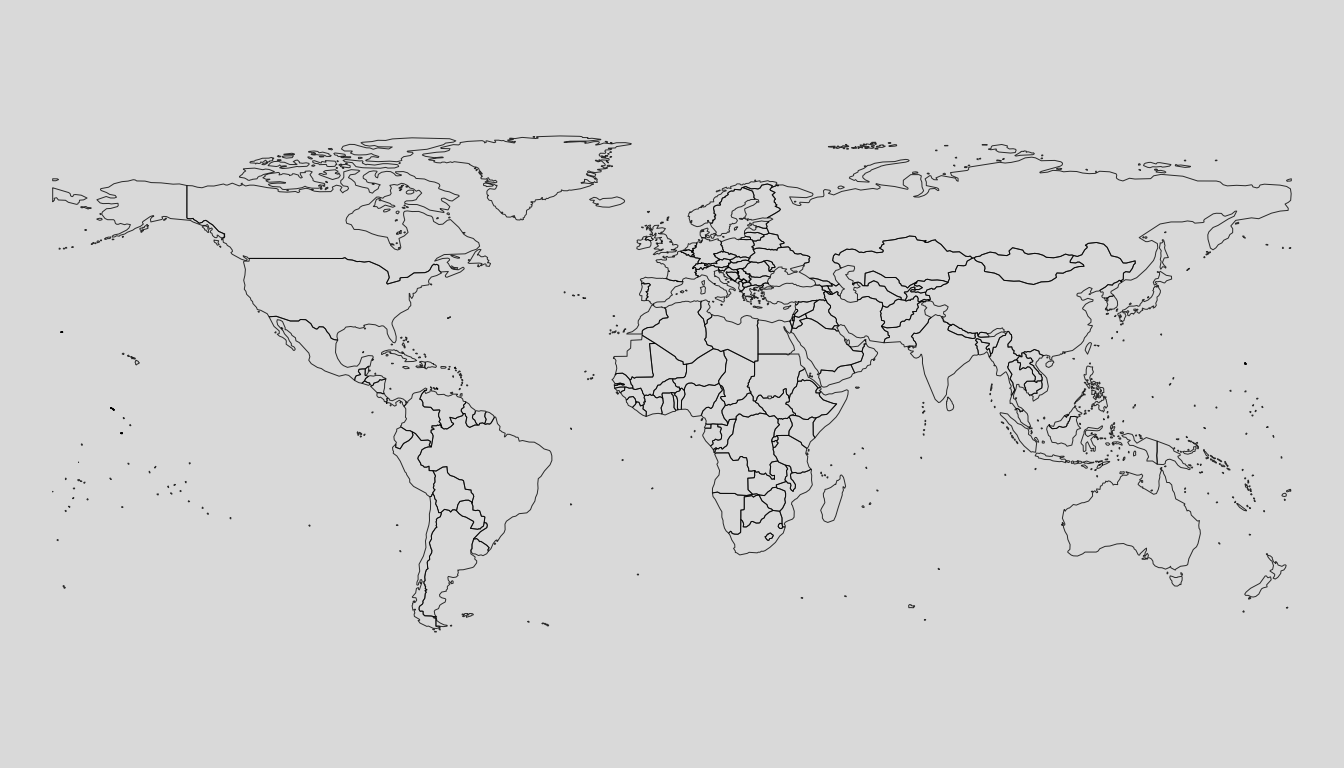
wr_nato <- loadCoordWR(unit = "nato", res = "hi")
mappingWR(wr_nato)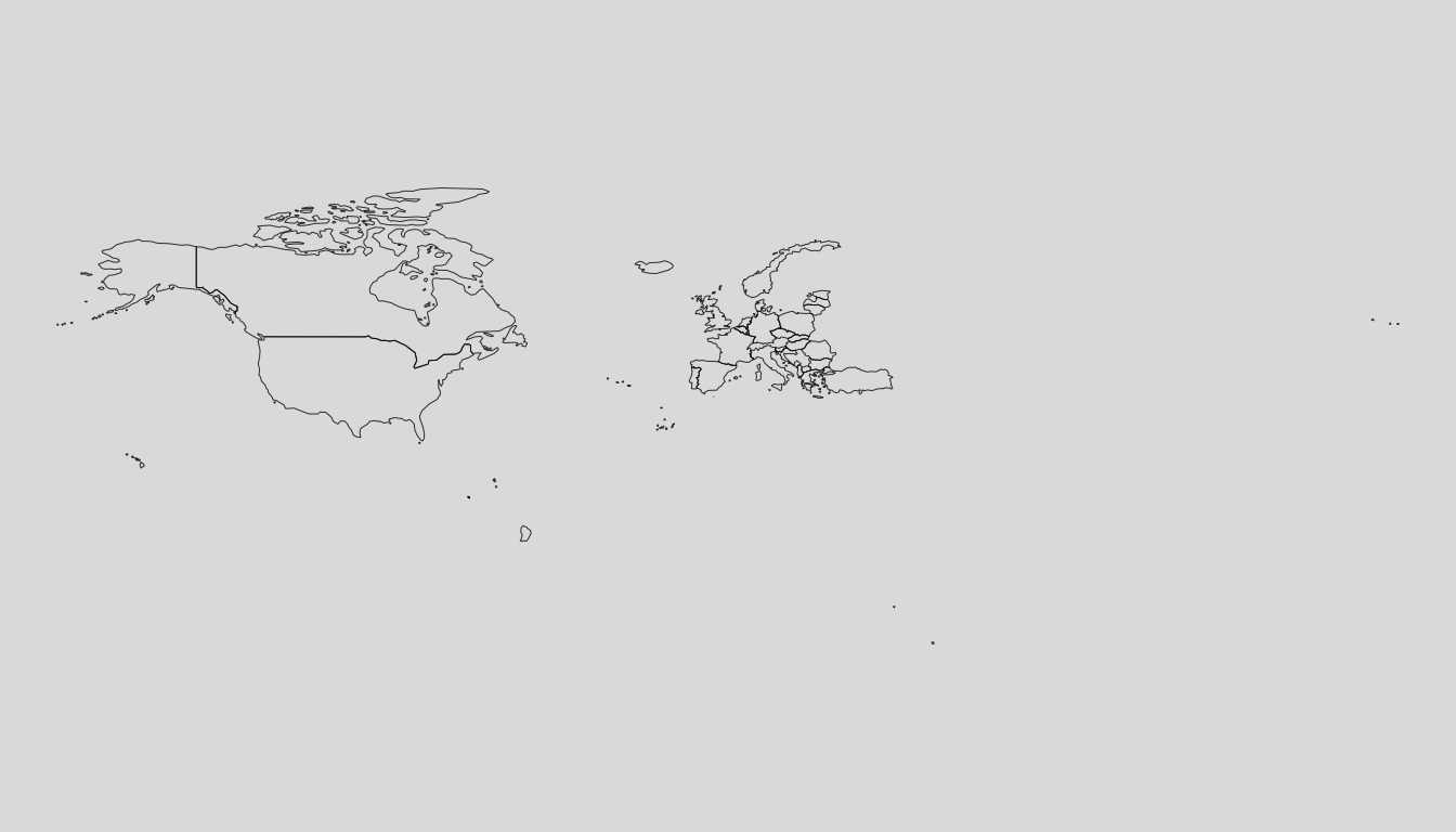
wr_ocde <- loadCoordWR(unit = "ocde", res = "hi")
mappingWR(wr_ocde)